Forest Data
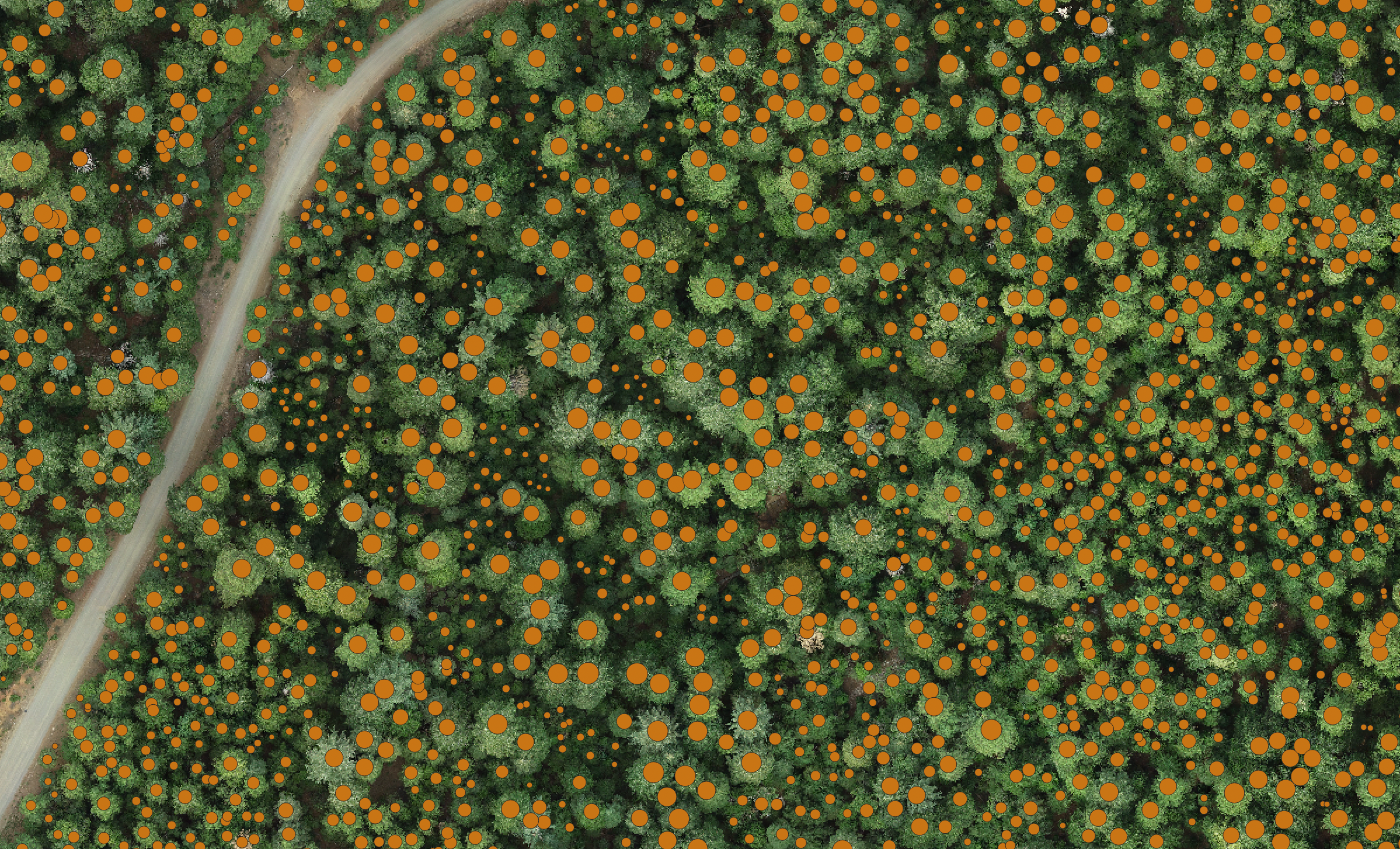
We host a database of > 150 (and growing) drone-based forest imagery acquisitions, including raw images and downstream products including orthomosaics, canopy height models, and individual tree detections. The data can be browsed in our html map or through our SpatioTemporal Asset Catalog (STAC).
The data can also be accessed programmatically with python. Learn how here.
Ground reference data
We host a large dataset of > 150 traditional ground-based forest inventory plots with individual tree locations mapped. These datasets generally fall within the footprint of an OFO drone-based dataset, enabling calibration and validation of drone-based forest mapping workflows. Access the catalog.
Data collection protocols
We have detailed protocols for collecting the drone and field data. Check out our methods and get guidance for collecting (and, we hope, contributing!) your own drone and field-based forest data.
Drone data collection protocol
Ground reference data collection protocol