Sample dataset A
Dataset details
Please note: the dataset presented here is a prototype that demonstrates the OFO functionality in development. It is not an official OFO dataset record.
Location
Dataset parameters
| Site name | Sample dataset A |
| Site area (hectares) | 4 |
| Drone & camera model | DJI Phantom 4 Advanced (integrated camera) |
| Number of photos | 3,456 |
| Flight altitude (m) | 120 |
| Ground sampling distance (cm) | 3.3 |
| Image overlap % (front/side) | 90/90 |
| Imagery collection date | 2021-09-30 |
| Dataset processing date | 2021-10-15 |
| Dataset processing parameters | Parameter file |
| DEM resolution (cm) | 10 |
| Orthomosaic resolution (cm) | 3.3 |
| Point cloud point count | 123,456 |
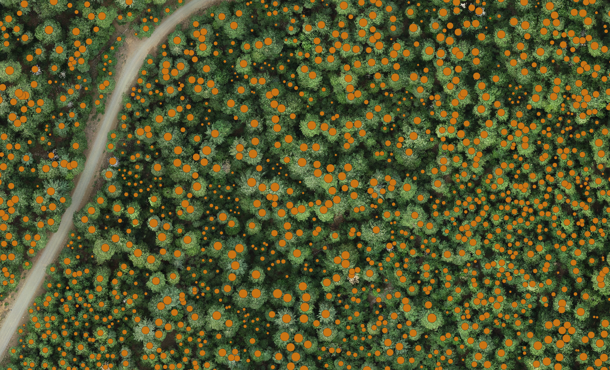
Stem map
Individual-tree stem map sample (subset, overlaid on orthomosaic)
Download full stem map (.gpkg) …
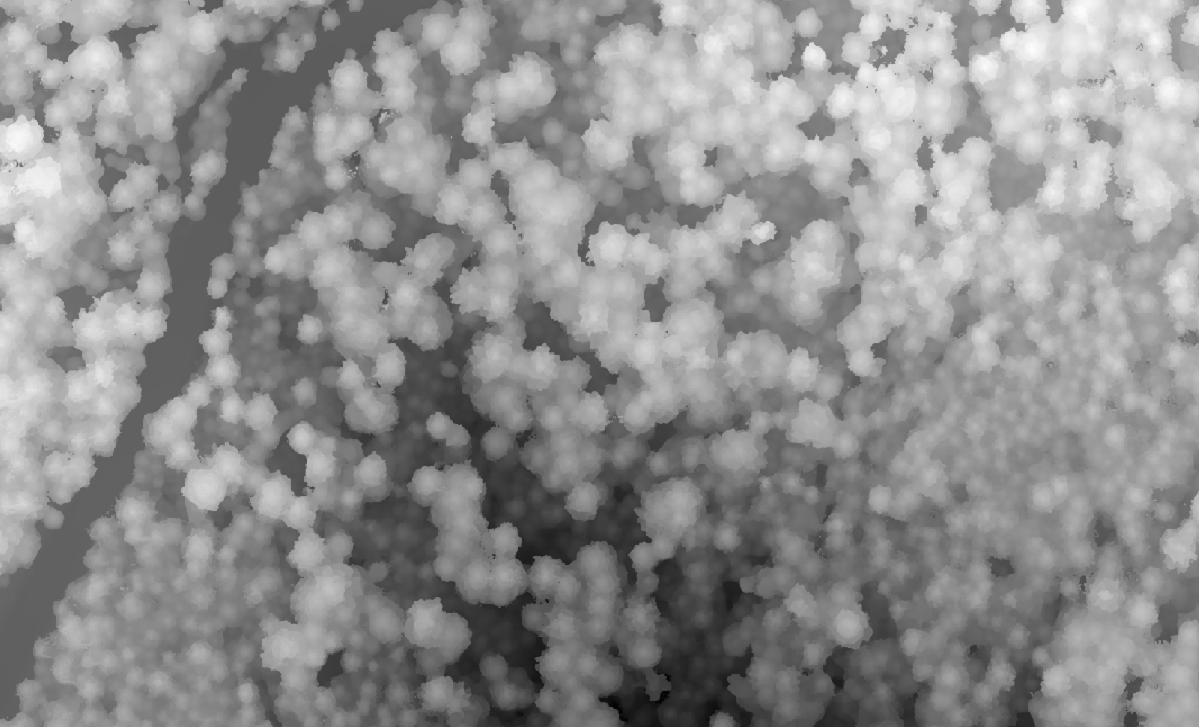
Digital surface model
DSM sample (subset)
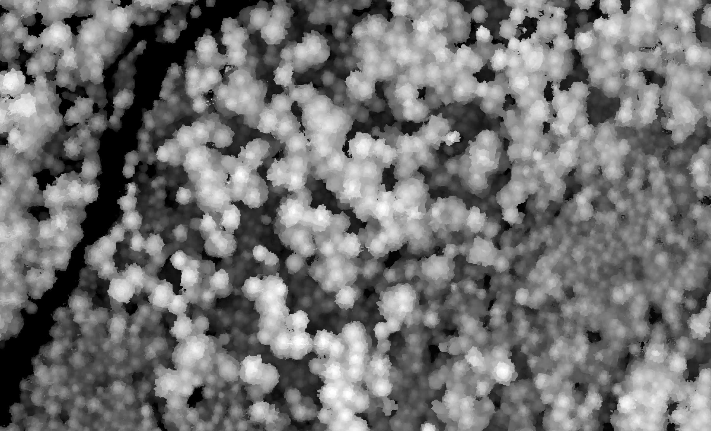
Canopy height model
CHM subset sample
Download full canopy height model (.tif) …
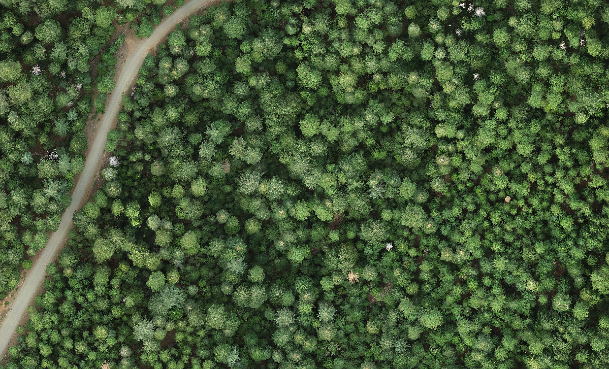
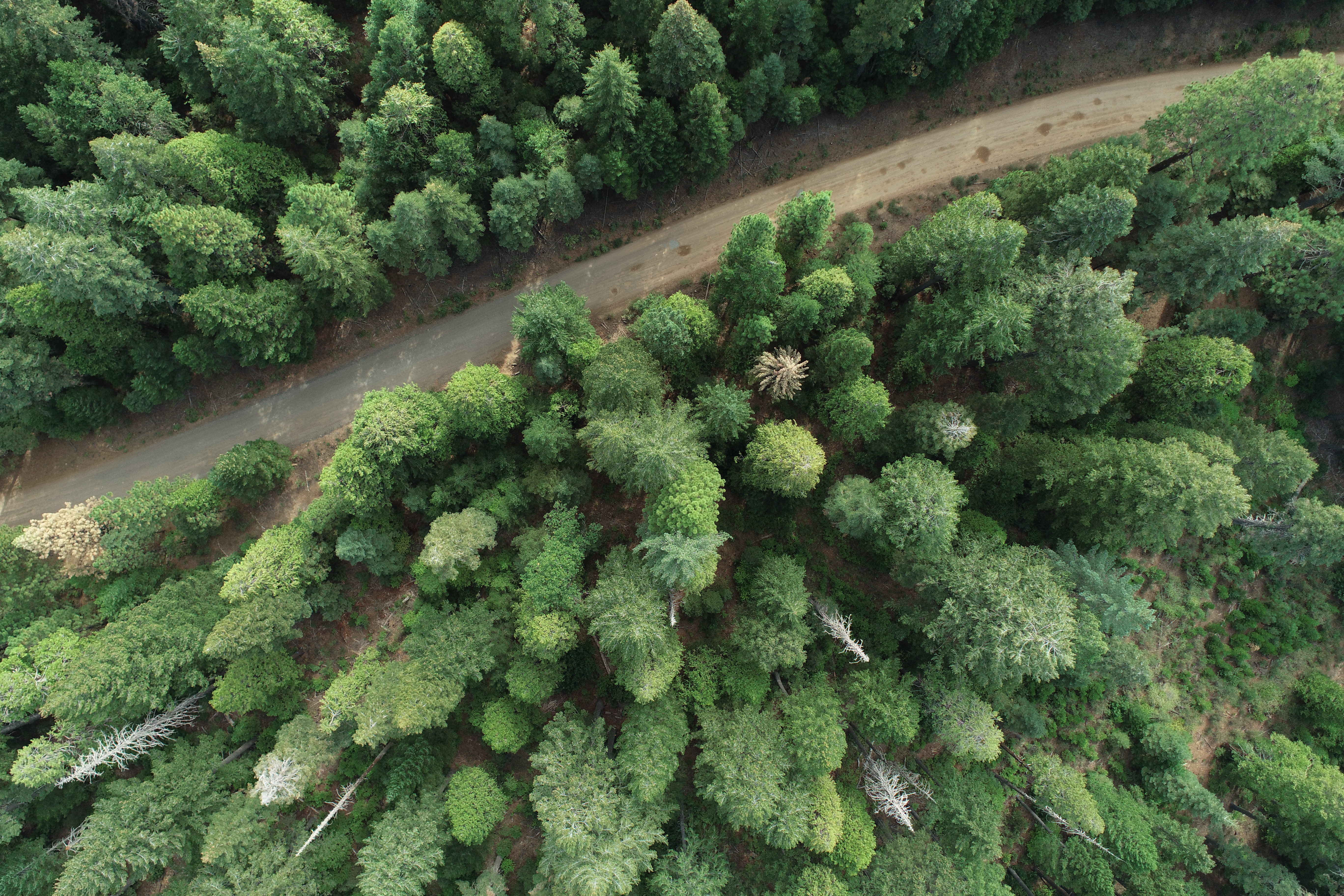
Orthomosaic
Orthomosaic sample
Download full orthomosaic (.tif) …
Point cloud
3D model sample
Download full point cloud (.laz) …
Raw drone images
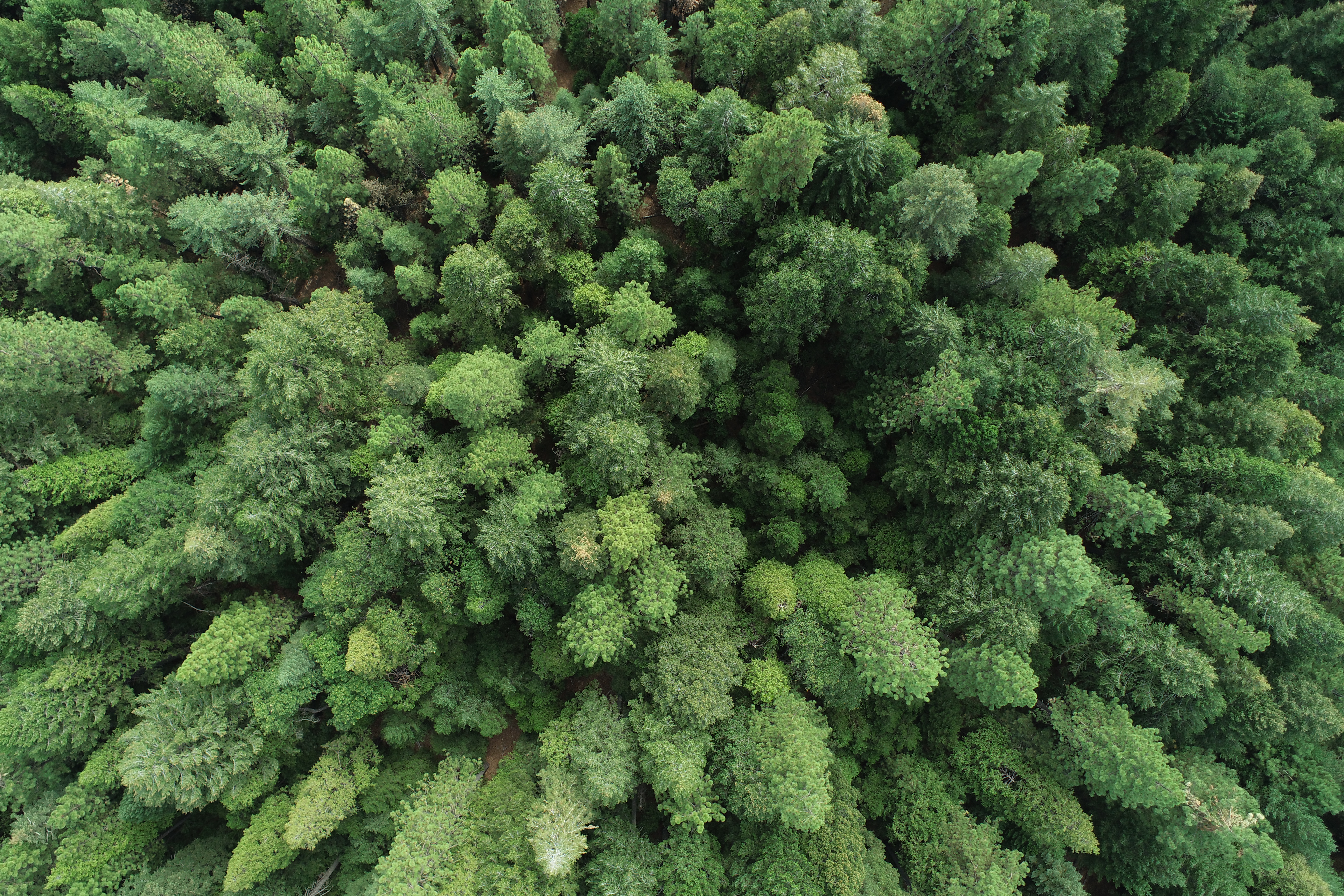
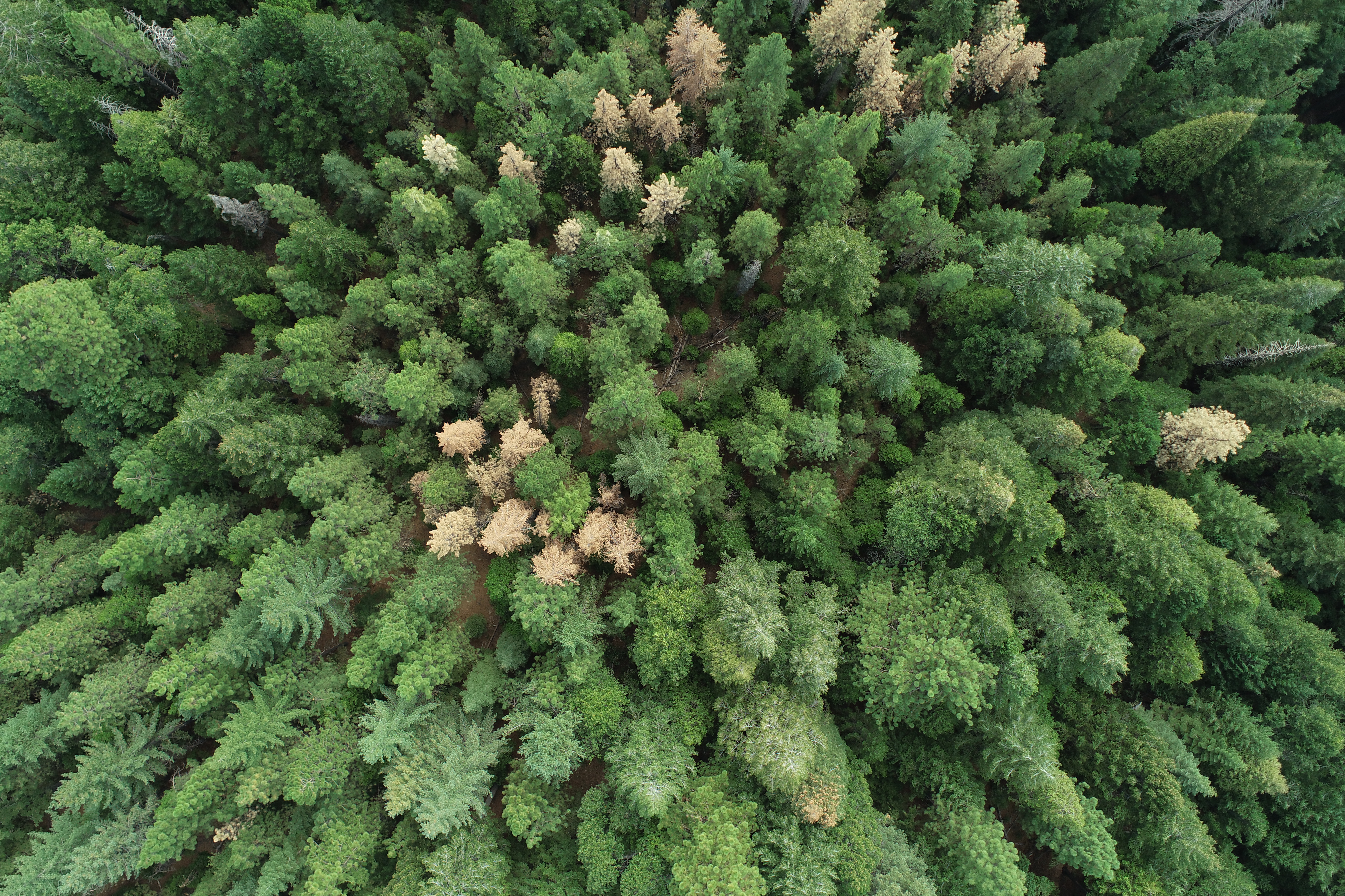
Sample drone images
Download all raw images (.zip) …